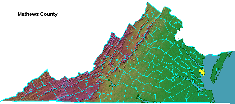
Mathews County was part of Gloucester County, until the new county was created in 1791.1
The bridge to Gwynn's Island was opened in 1939. Hugh Gwynn is credited with being the first to explore the island named after him, around 1611. He patented 1,700 acres, about 25% of the entire amount of land, in 1635. "Gwynn" is a Welsh name, and he may be responsible for giving Milford Haven its name. That 200-yard stretch of water separates Gwynn's Island from the mainland. "Milford Haven" is also the name of a fishing town in Wales.2
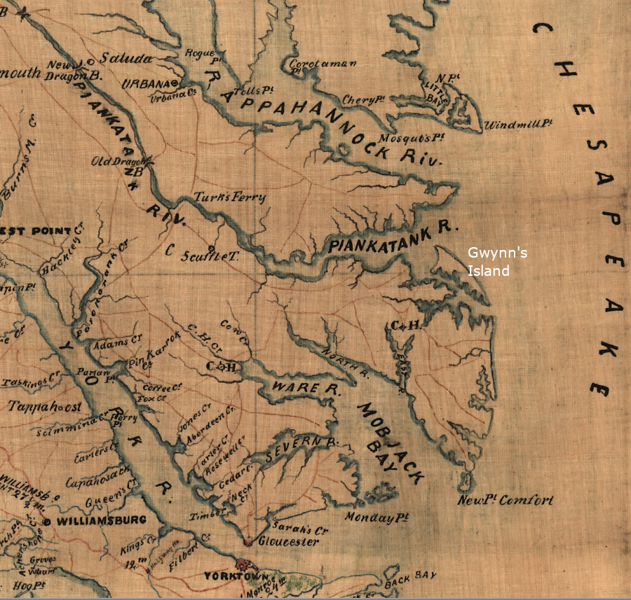
Lord Dunmore occupied Gwynn's Island in 1776, before finally fleeing to New York
Source: Library of Congress, S.E. portion of Virginia and N.E. portion of N'th Carolina (by Thomas Jefferson Cram, 186_)
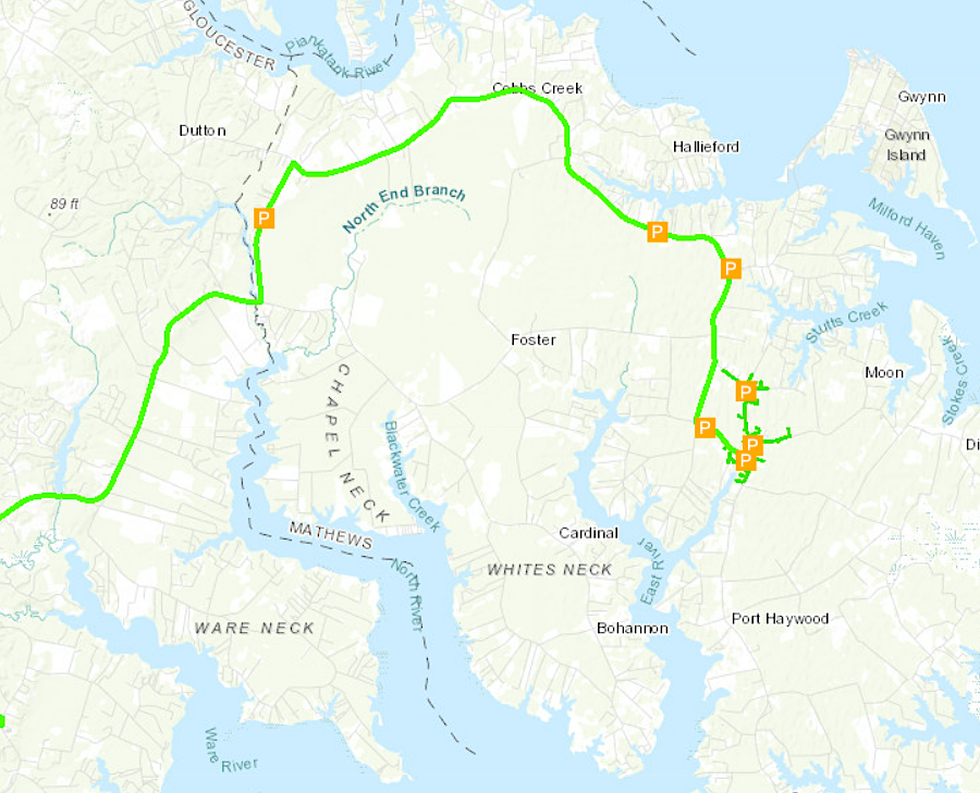
Hampton Roads Sanitation District sewer lines (green) and pump stations (orange squares) move Mathews County wastewater to treatment plants south of the James River
Source: Hampton Roads Sanitation District, HRSD Public Map