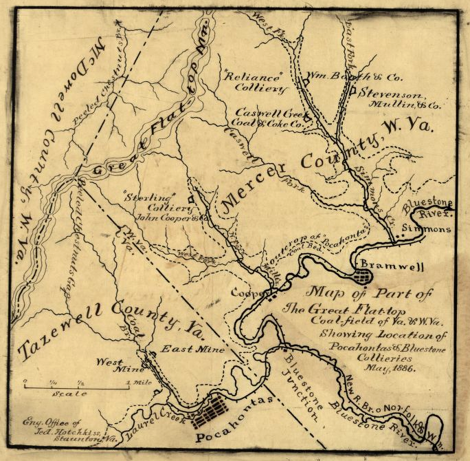
the value of coal brought the Norfolk and Western Railroad to Pocahontas in Tazewell County in 1883
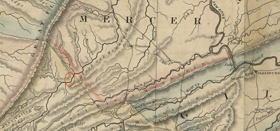
Source: Library of Congress, Map of part of the great Flat-top coal-field of Va. & W. Va. showing location of Pocahontas & Bluestone collieries (by Jedediah Hotchkiss, 1886)
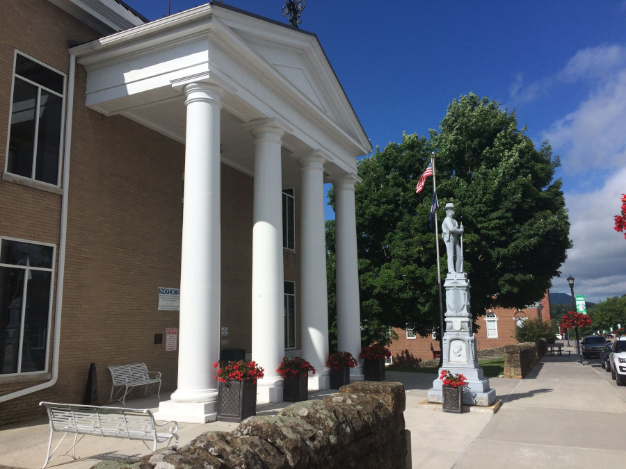
Tazewell County Courthouse
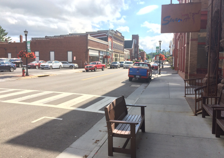
downtown Tazewell
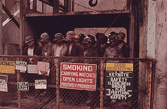
coal mining was a major provider of jobs in Tazewell County in the 1900's
Map Source: National Archives, Miners Just Surfacing on the Mine Elevator at the Virginia-Pocahontas Mine
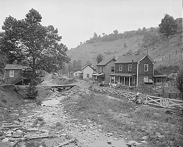
coal town at Red Ash (Tazewell County)
Source: National Archives, Old coal company town of Red Ash, Virginia, near Richards in Tazewell County in the southwestern part of the state. This is a classic picture of a company town with a railroad in the valley flanked by miners' homes. The coal mine superintendent's home is up the hill in the upper left portion of the picture. The separation is symbolic of the caste system which once rule in the mining towns but which is now in the process of change. The road is made of red dog, a mining byproduct
Tazewell County coal miner housing in 1946
Source: National Archives, Houses by the dirty stream which is used for disposal of trash and garbage. Raven Red Ash Coal Company, No. 2 Mine, Raven, Tazewell County, Virginia (1946)
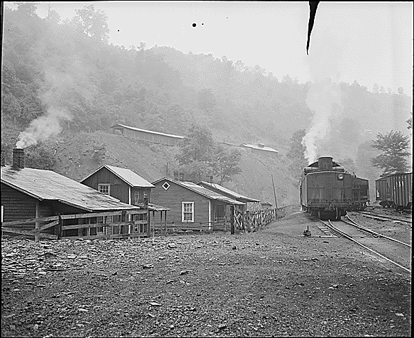
mining communities depended upon the railroad for moving people and coal
Source: National Archives, Railroad by the houses. Raven Red Ash Coal Company, No. 2 Mine, Raven, Tazewell County, Virginia (1946)
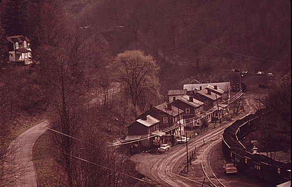
Source: Dan McCoig, Virginia's First Coal Town - Coal Heritage Trail - DanTraveling
prior to the arrival of the Norfolk and Western Railroad in 1881, the coal seams at the future site of Pocahontas in Tazewell County was undeveloped
Source: Library of Congress, A map of the state of Virginia, constructed in conformity to law from the late surveys authorized by the legislature and other original and authentic documents (1859)
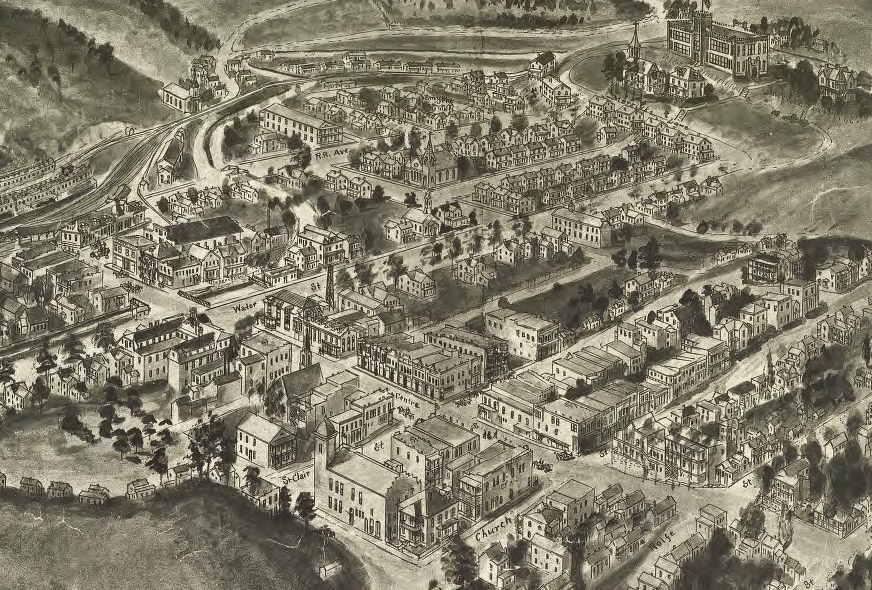
Town of Pocahontas in 1911
Source: Library of Congress, Aero view of Pocahontas, Va. 1911