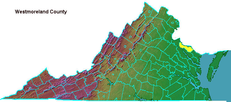
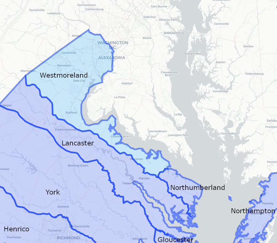
Westmoreland County was created in 1653. The lightly-settled western portion of Northumberland County was established as its own county, with new officials and a new county court.1
At the time, Puritans had displaced Governor William Berkeley during the English Civil War. Despite the change in leadership, the General Assembly continued to facilitate population expansion and land speculation up the Potomac River.
At the same time, Charles II was in exile in France. He granted all of the Northern Neck to key allies to increase their support for restoring him as king, but that was irrelevant to the General Assembly in Virginia. What became known later as the Fairfax Grant later created difficulties in defining who was entitled to issue land grants, but those who inherited the grant's claims never sought to eliminate the county government.
Illinois County, Virginia, existed from 1778-1784
Source: Newberry Library, Atlas of Historical County Boundaries
Westmoreland County was briefly abolished in 1662. The most influential planters captured the head of the Patawomack, and falsely accused Wahanganoche of murder. Governor Berkeley, re-instated in office after the restoration of Charles II, sought to minimize conflicts with Native Americans that would interrupt his lucrative trade in furs. The General Assembly did not desire a military conflict, which would require raising taxes to finance a militia force.
A special committee of the General Assembly examined the charges against Wahanganoche. In the end, he was freed and compensated, while the planters were fined. The punishments limited the number of people qualified to serve on the Westmoreland County Court, so the General Assembly briefly recombined Westmoreland and Northumberland counties:2
When John Smith's crew rowed and sailed their shallop up the Rappahannock River in 1608, they encountered the Pissaseck living along the shoreline on the north bank. Nearby Drakes Marsh was a source of food. The town of the Pissaseck was typical:3
English colonists later developed the port of Leedstown at that site. On February 27, 1766, Richard Henry Lee led 115 Westmoreland County colonists at Bray's Church to endorse the Leedstown Resolutions, expressing opposition to the Stamp Act passed by Parliament in London. This sparked a political journey that hit a peak ten years later, when Lee introduced the resolution in the Continental Congress calling for the colonies to declare themselves independent from Great Britain.
In 2022, the Leedstown Resolutions chapter of the Daughters of the American Revolution and a representative of the Rappahannock Tribe rededicated two historical markers at the site of Bray's Church in Leedstown. One marker commemorated he Pissaseck and the other commemorated the Leedstown Resolutions. Th chair of the Native American committee of the Daughters of the American Revolution commented at the rededication ceremony:4
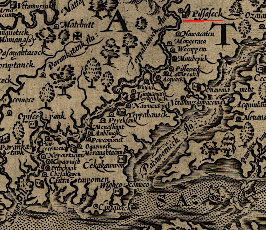
John Smith documented a "Kings howse" at Pissaseck in 1608
Source: Library of Congress, Virginia (by John Smith, 1624)
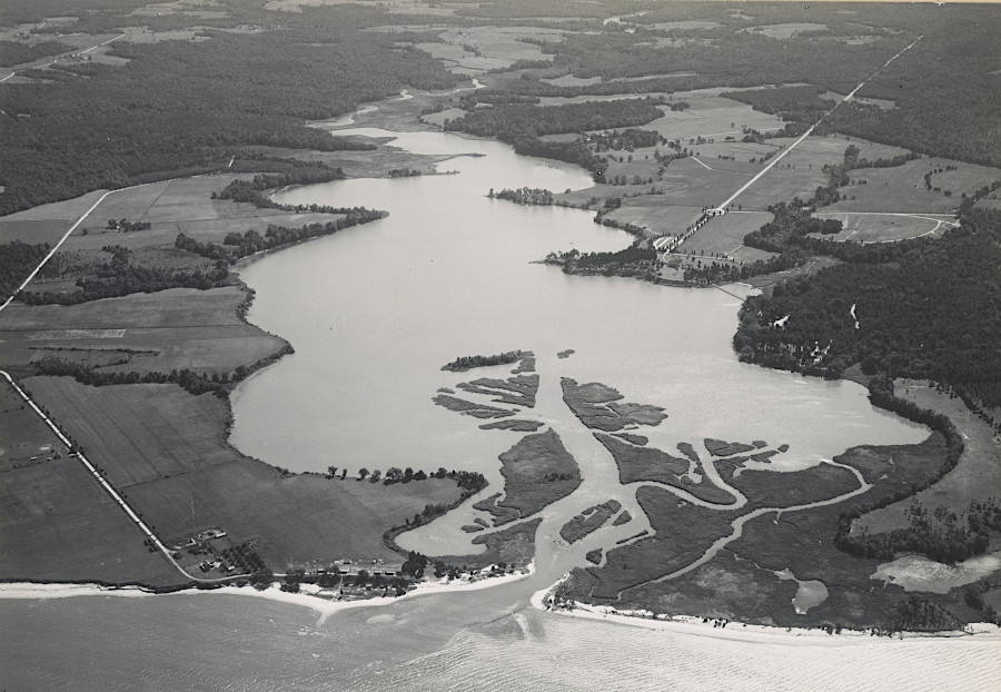
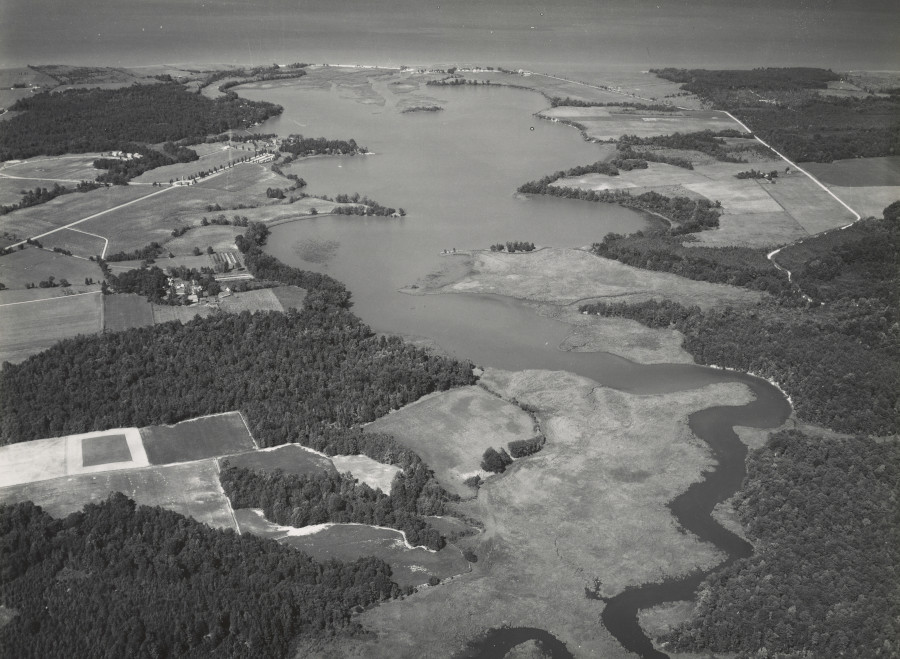
Popes Creek in the 1940's
Source: National Archives, Virginia - Pope Creek and Virginia - Pope Creek
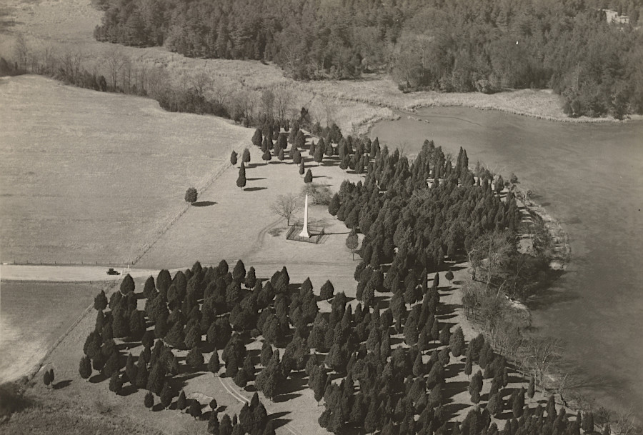
Wakefield, birthplace of George Washington, in 1927
Source: National Archives, Virginia - Wakefield