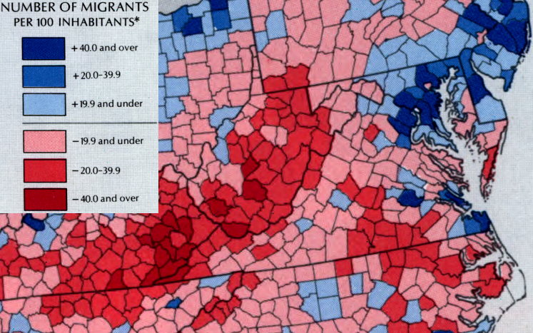
migration from rural Virginia jurisdictions to urban areas is not a new phenomenon, as shown by the population changes between 1950-1960
Source: Library of Congress, "The national atlas of the United States of America," Population Migration
migration from rural Virginia jurisdictions to urban areas is not a new phenomenon, as shown by the population changes between 1950-1960
Source: Library of Congress, "The national atlas of the United States of America," Population Migration
500 years ago, the population of Virginia was concentrated rather than diffused consistently across the landscape. Native Americans lived in villages, or traveled in groups on traditional trails.
Today, the population of Virginia is concentrated in the modern equivalent of those villages, urban areas - or travelling in narrow corridors constructed by the Virginia Department of Transportation.
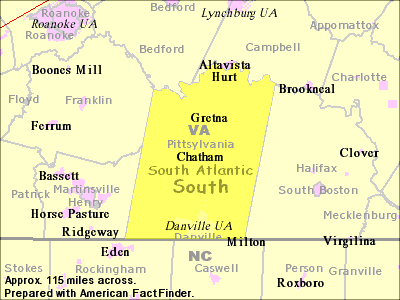
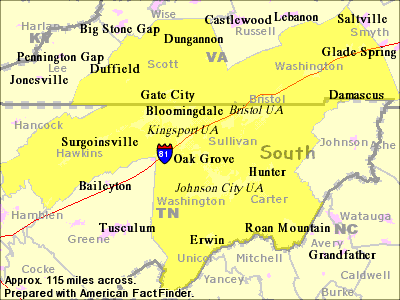
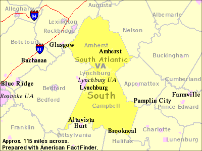
Those urban areas are defined by a Federal agency, the Office of Management and Budget (OMB). It has established criteria for the concentrations of people known as Metropolitan Statistical Areas and Micropolitan Statistical Areas:1
The criteria for a jurisdiction to be included in Metropolitan/Micropolitan Statistical Areas have changed, as population has grown. In 2013, the standards were:2
The definition of Standard Metropolitan Areas started before the 1950 Census. OMB does not intend for the boundaries to serve as a general purpose geographic framework... but the changing designations do reflect the increasing economic links between central cities and nearby jurisdictions, as suburbs have expanded and commuters travel longer distances to jobs in the urban core.
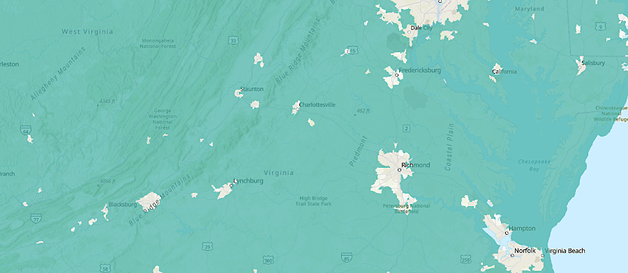
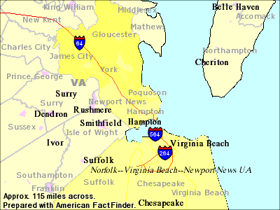
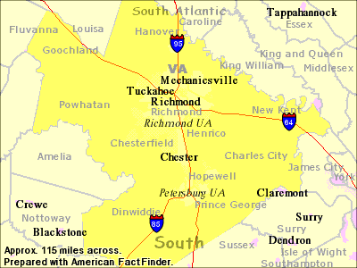
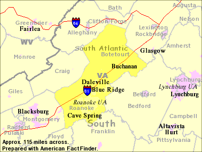
After the 1990 Census, Virginia's urban population was concentrated in 8 areas defined as Metropolitan Statistical Areas by the Federal government:
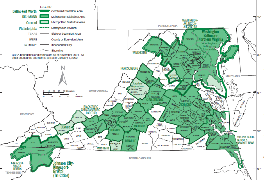
Metropolitan and Micropolitan Statistical Areas in Virginia in 2004
Source: Bureau of Census, State-based Metropolitan and Micropolitan Statistical Areas Maps - 2004
The urban/rural divide is visible in maps of election results. Politically, most areas of denser population vote for Democratic Party candidates, while rural and ares of low population density trend Republican. The 2019 elections flipped control of both houses of the General Assembly, and the new Democratic leaders pushed for a variety of new laws affecting guns. That triggered a backlash, with crowds packing meetings of local governments in early 2020 to create Second Amendment "sanctuaries."
There was even a proposal for some Virginia counties to secede and join West Virginia, called "Vexit" after the recent decision of Great Britain to depart the European Union in "Brexit." An advocate for Vexit noted:3
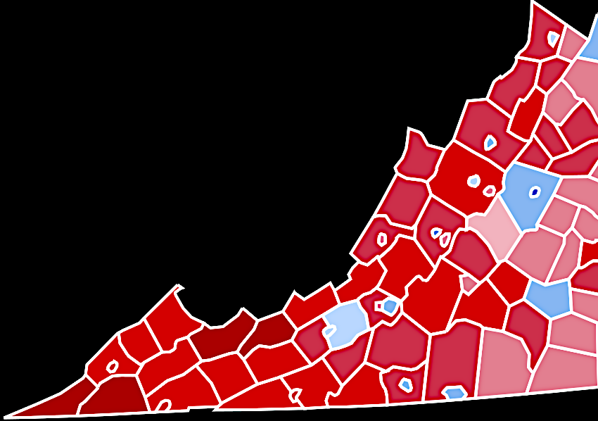
in 2016, cities in the Shenandoah Valley and Southside Virginia voted for Hillary Clinton, while rural areas supported Donald Trump
Source: Wikipedia, 2016 United States presidential election in Virginia
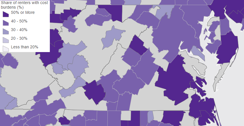
more than half the renters in Richmond, Hampton Roads, and near universities in Harrisonburg and Blacksburg spend over 30% of income for housing
Source: Harvard University, Millions of Americans Spend Over 30 Percent of Income for Housing
in 2024, most of Virginia was designated as "non-urban tracts" eligible to receive tax credits for installing electric vehicle charging stations
Source: US Department of Energy, 30C Tax Credit Eligibility Locator