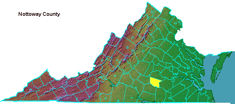
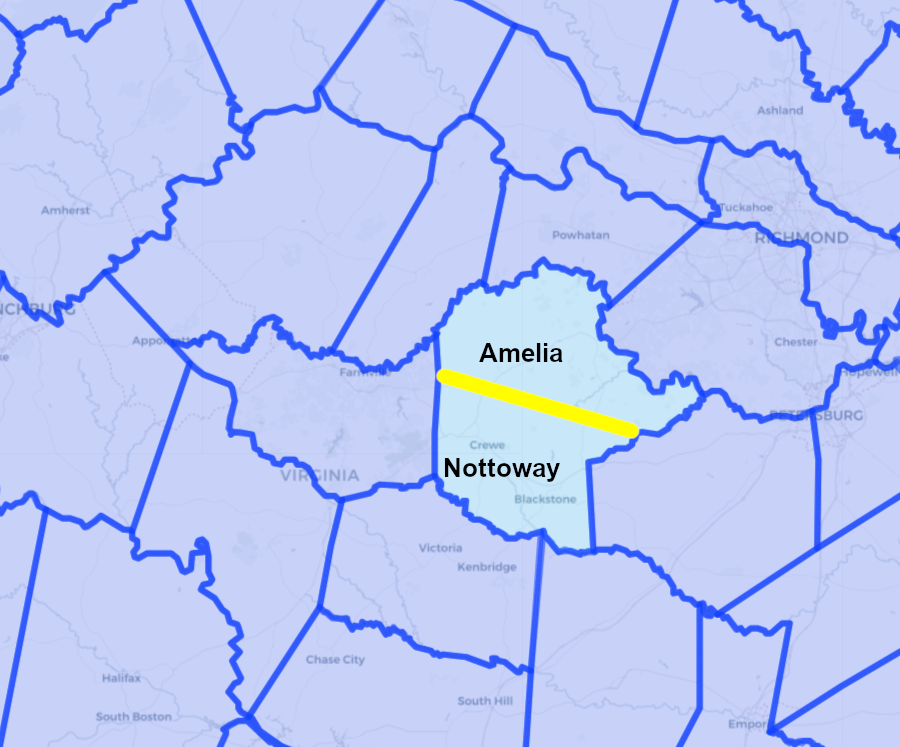
Nottoway County was created in 1789 by splitting Amelia County
Source: Newberry Library, Atlas of Historical County Boundaries
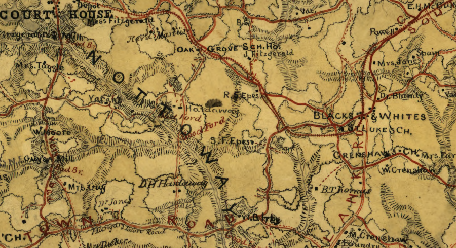
Blackstone was known as Blacks and Whites during the Civil War
Source: Library of Congress Gilmer Map Collection, Map of Nottoway Co., Va
square boundary of the Town of Burkeville
Source: Nottoway County, GIS Maps & Data
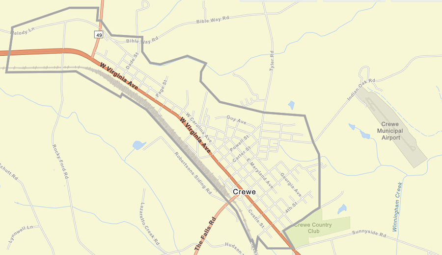
Town of Crew boundaries
Source: Nottoway County, GIS Maps & Data
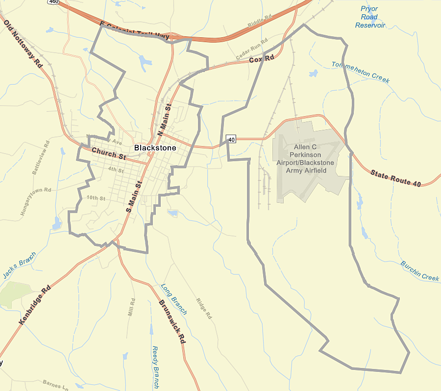
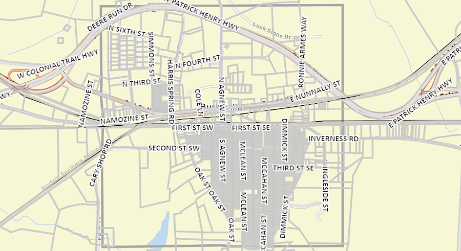
Town of Blackstone and Fort Barfoot boundaries
Source: Nottoway County, GIS Maps & Data
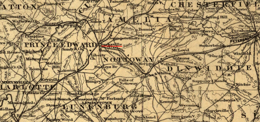
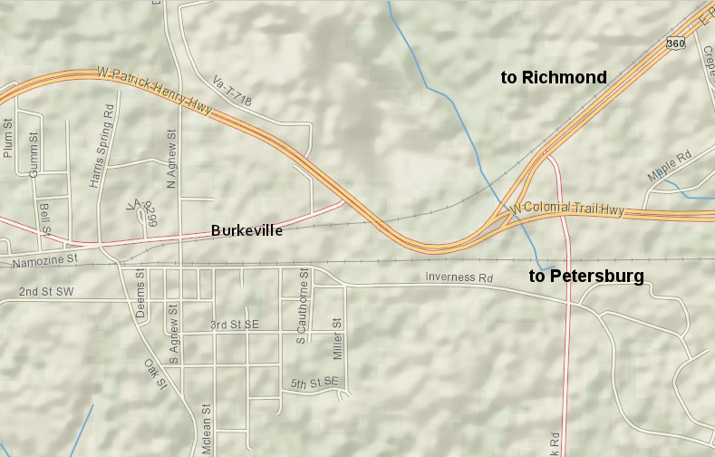
Burksville (now known as Burkeville) developed as a railroad junction prior to the Civil War
Source: Library of Congress, Map showing the Fredericksburg & Gordonsville Rail Road of Virginia (1869)
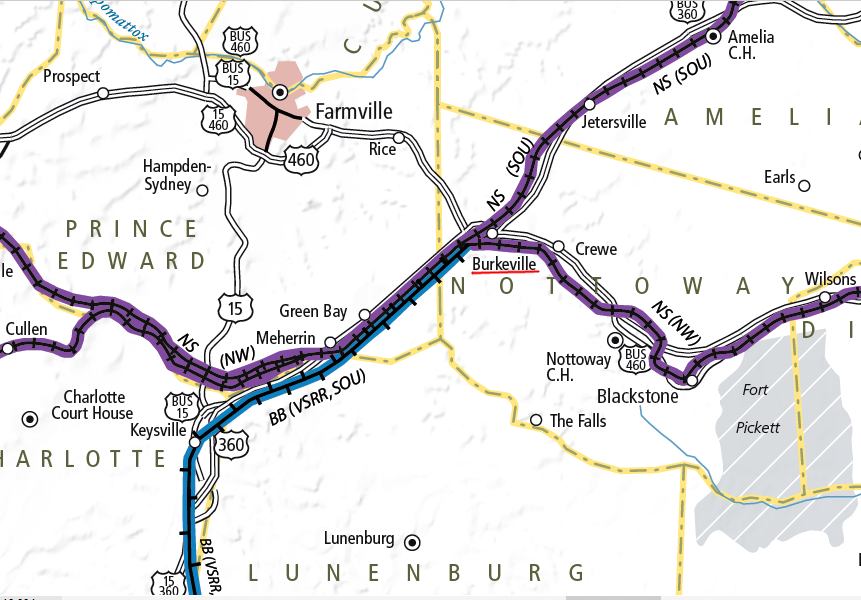
the former Norfolk and Western Railroad route to Farmville, with the High Bridge across the Appomattox River, has been abandoned
Source: Virginia Department of Rail and Public Transportation, Virginia Railroad Map (2012)
Burkeville is still the junction of Norfolk Southern routes headed east to Richmond and Petersburg, plus the Buckingham Branch headed south to North Carolina
Source: ESRI, ArcGIS Online