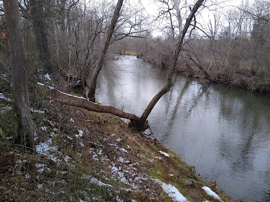
Broad Run is a perennial stream running through Prince William County
Broad Run is a perennial stream running through Prince William County
Streams are classified by different jurisdiction in different ways. Regulations differ, and are not applied consistently.
In 2014, a survey by the Association of State Wetland Managers used the following definitions:1
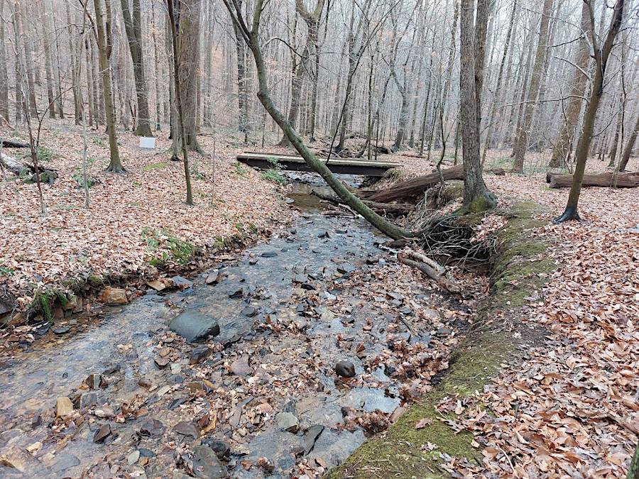
Catlett Branch, a perennial stream in Bull Run Mountains Naural Area Preserve
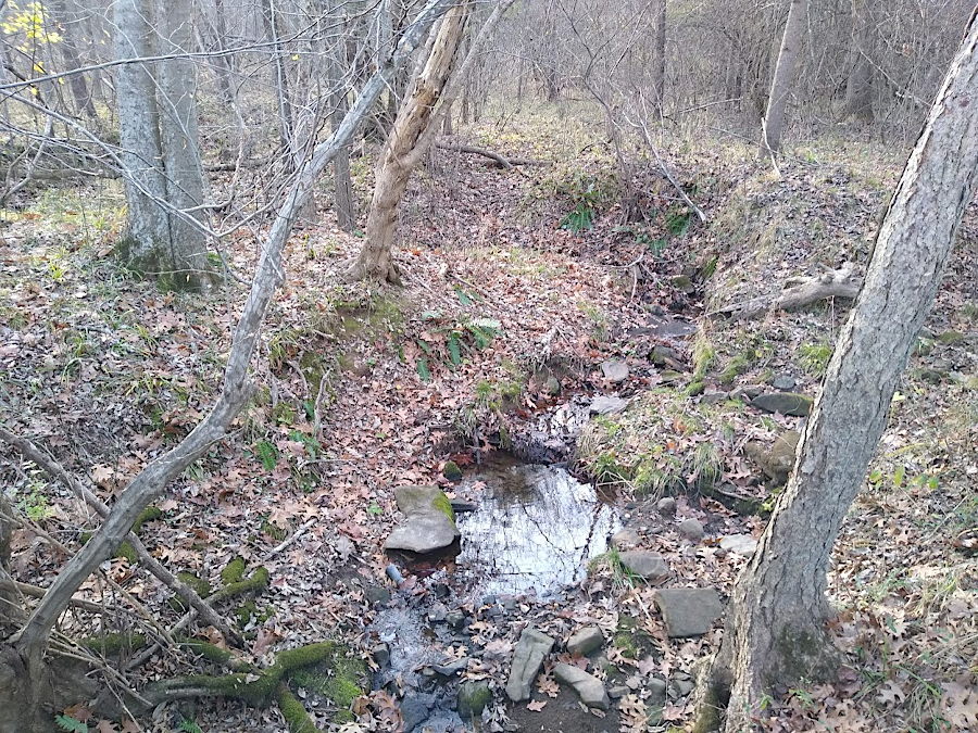
intermittent streams flow for portions of a year, when there is sufficient groundwater
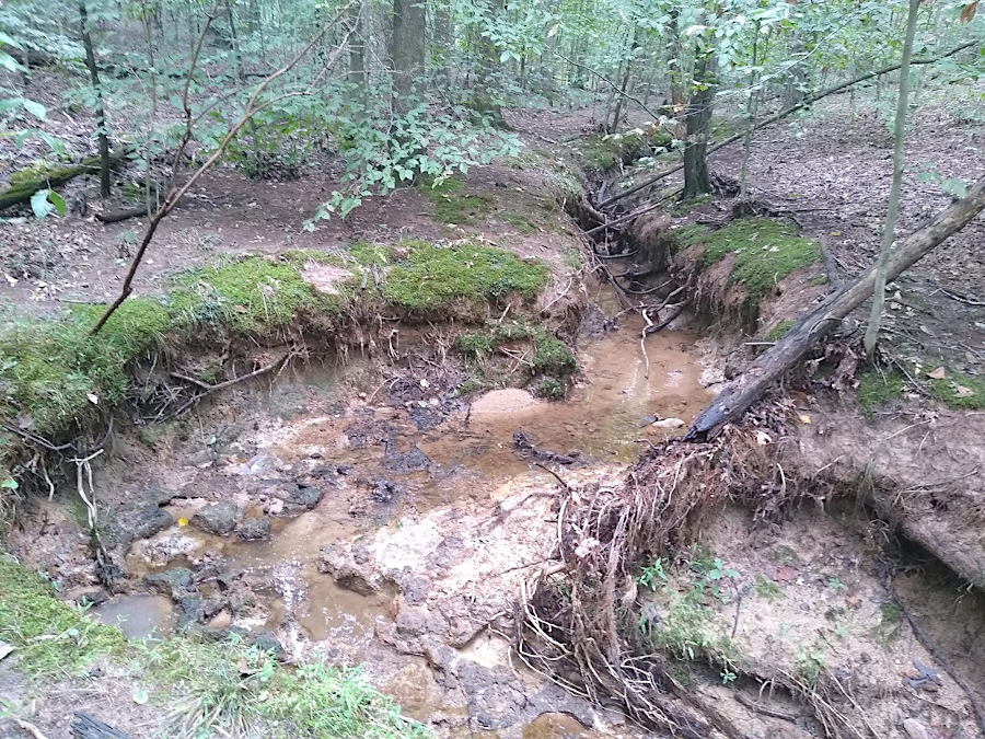
ephemeral stream channels are dry most of the time, and flow only during and right after precipitation events (rain/snow)
The US Geological Survey (USGS) displays perennial streams on 1:24,000 scale maps with a solid blue line. A dotted blue line was used to display the location of intermittent streams. Channels of ephemeral streams were not mapped, other than with topographic indicators. Because of the sheer number of stream miles displayed on the topographic maps, little ground truthing was possible.
The 84 jurisdictions affected by the Chesapeake Bay Preservation Act are required to designated Resource Protection Areas (RPAs) along perennial streams. The Chesapeake Bay Regulations call for landowners to preserve a buffer of natural vegetation along perennial streams, 100 feet wide on either side. When counties, cities, and towns must identify Resource Protection Areas and ensure buffers are protected when approving rezonings and site plans for development.
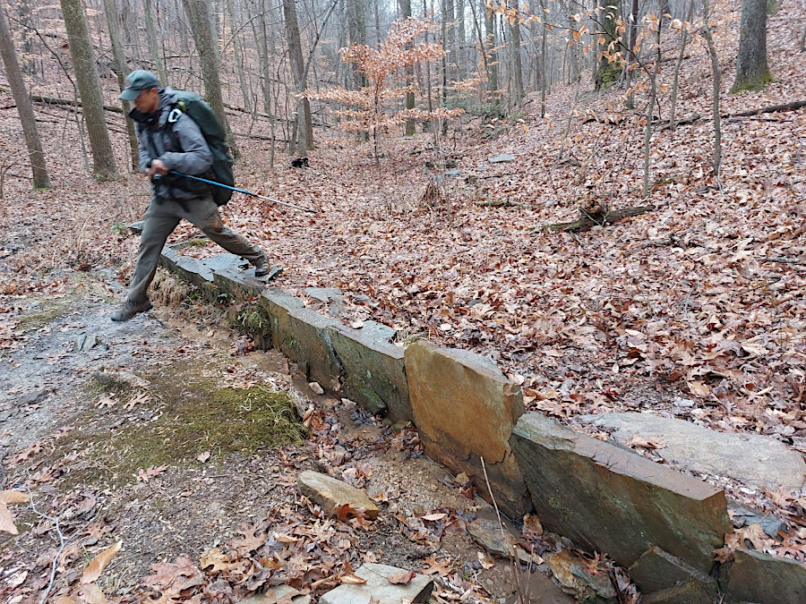
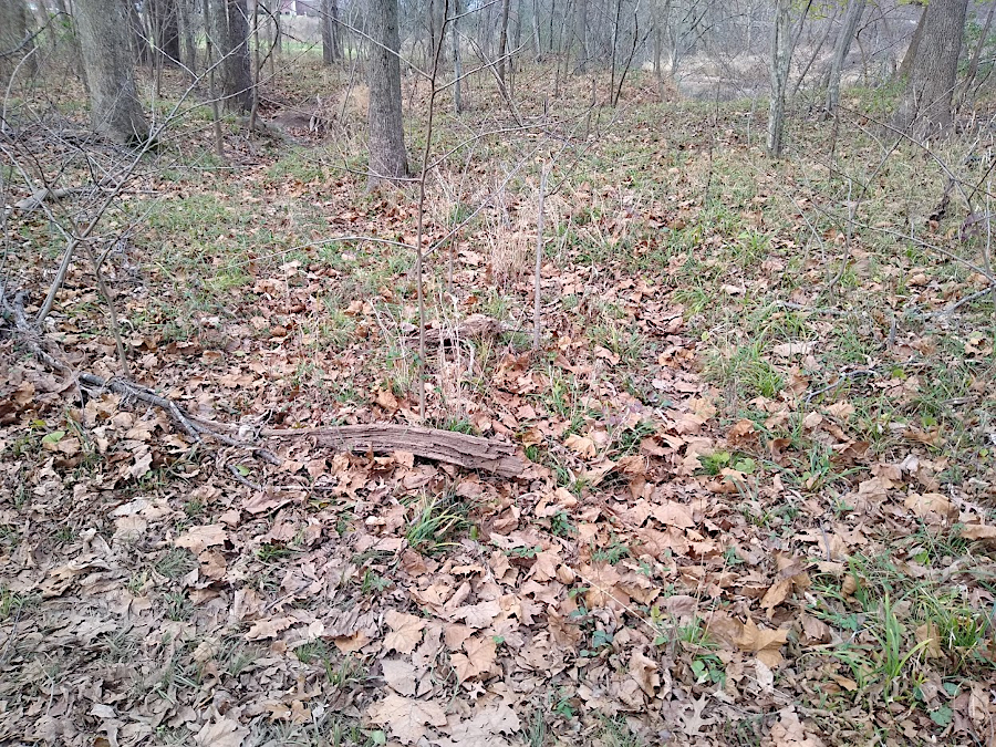
to prevent erosion from creating a new intermittent stream channel, waterbars are designed to divert water from hiking trails
The larger jurisdictions, such as Fairfax County, conduct site-specific determinations when the US Geological Survey maps indicate the presence of an intermittent stream which may actually be perennial. When Prince William County completed a Perennial Flow Determination (PFD) and identified a perennial stream segment, it then completed a Preservation Area Site Assessment (PASA) study to define the exact boundaries of the Resource Protection Area. Plans of development submitted by developers had to recognize the stream buffer zones.2
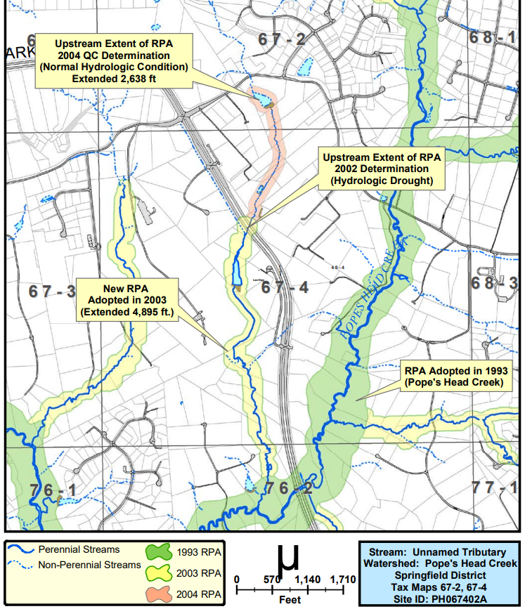
when intermittent stream segments are reclassified as perennial, expanded Resource Protection Areas affect plans of developers
Source: Fairfax County, Fairfax County Streams Mapping Project
The designation for a portion of a tributary of Buck Branch near the town of Vienna became controversial in 2004. The landowner disputed Fairfax County's designation of the stream segment as perennial. She claimed that construction of houses on a formerly-marshy area upstream had reduced water flow.
Fairfax County used observational data to declassify streams from perennial to intermittent, a less complicated procedure than the 25-step assessment used to designate a stream as perennial. Photographs showing no water flow for three weeks in late summer were judged to be adequate data. The Fairfax County Department of Public Works and Environmental Services reclassified the segment as intermittent.
The developer proposed to install a stormwater management pond downstream of the project, which would also mitigate the impacts of the construction of houses in the formerly-marshy area upstream. However, neighbors objected to the reclassification. Removal of the Resource Protection Area buffers allowed the landowner to double the number of houses permitted on the 12-acre "Wedderburn" parcel, which was known locally as Midgetville due to an urban legend that retired circus workers lived there.
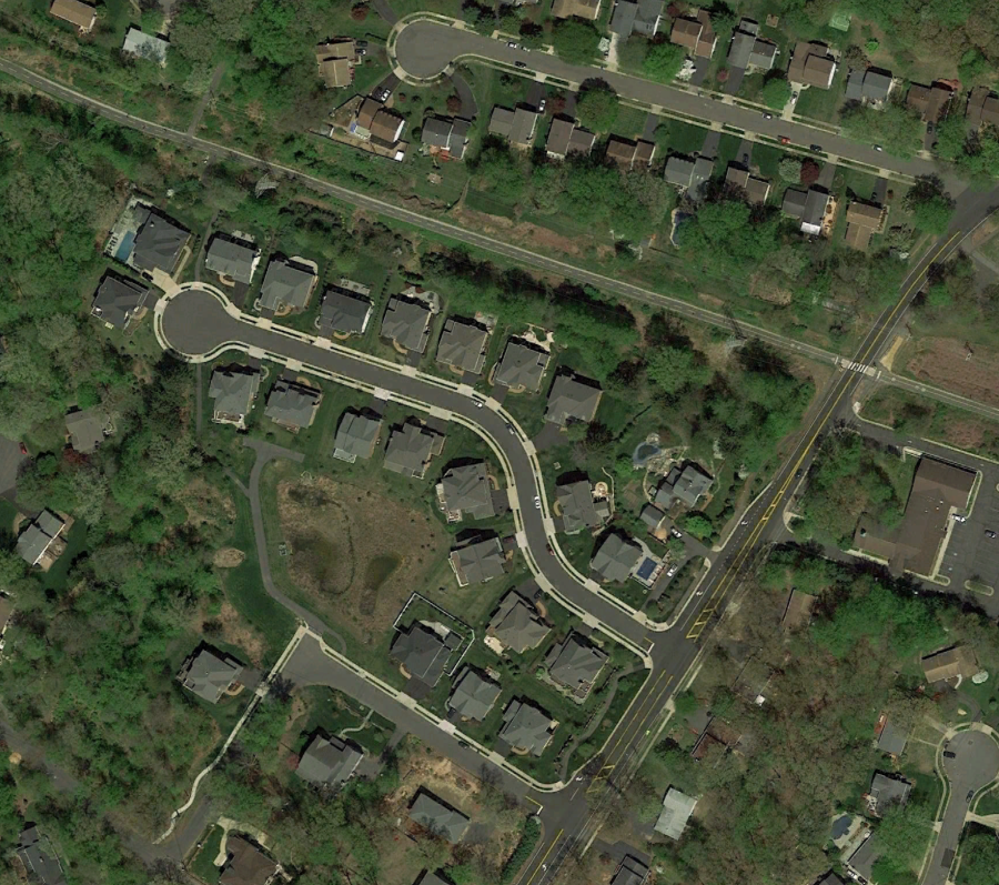
Fairfax County continued to categorize the tributary as perennial, downstream of the stormwater management pond. Further downstream the tributary crossed into the Town of Vienna, and the town classified the stream within its boundaries as intermittent. That illogical pattern demonstrates how human judgment was a factor in the classification process. All segments downstream of a perennial segment in Fairfax County will have even more water, rather than revert to intermittent flow.
Water in the disputed stream segments ultimately flowed into Accotink Creek. One result of the politically-charged decision was the creation of the Friends of Accotink Creek.3
Jurisdictions can develop their own field indicator protocols for a Perennial Flow Determination, but those must be approved by the state. Protocols developed by the North Carolina Division of Water Quality have been modified by Fairfax County and by James City County.
A stream segment assessed by each protocol will be classified as "perennial" and an RPA buffer will be required if the segment scores 30 points according to the North Carolina protocol, 25 according to the Fairfax County protocol, or 14 according to the James City County protocol. The scores are supposed to serve as a guide; stream segments with lower scores may still be defined as perennial based upon biological indicators such as the presence of crayfish and other animals that require water for their entire life cycles.4
on US Geological Survey maps, dotted blue lines identify intermittent streams and solid blue lines identify perennial streams
Source: US Geological Survey (USGS), Gladys, VA 1:24,000 topographic quadrangle (2019)
In 2020, the General Assembly required the Virginia Soil and Water Conservation Board to create a methodology for identifying perennial streams that did not require field verification. The state needed a dataset and map of perennial stream segments in order to implement a new requirement designed to reduce the flow of sediment and nutrients to the Chesapeake Bay. If by 2026 Virginia had failed to meet the targets in the Chesapeake Bay Total Maximum Daily Load Phase III Watershed Implementation Plan:5
The Virginia Soil and Water Conservation Board chose a technique that defined a stream segment as perennial if it was identified as such in two of three specific reference datasets.
The 2002 Virginia Geographic Network (VGIN) Stream Network was created after an extreme drought. Aerial photography recorded streams with water, which under the circumstances would likely be perennial. The second dataset is produced by the Natural Resources Conservation Service in the US Department of Agriculture. The SSURGO data, based on the National Cooperative Soil Survey, identifies wet or flooded soils. Groundwater is likely to provide a steady flow for stream segments passing though such soils.
The third dataset is the National Hydrography Dataset (NHD). It is also produced by the US Geological Survey, but provides a more-detailed mapping of stream channels and associated attributes.
the National Hydrography Dataset (NHD) is used as an indicator of which stream segments are perennial
Source: US Geological Survey (USGS), The National Map
The Virginia LIDAR Dataset will be used to document the location of the stream segments presumed to be perennial. Digital Elevation Models based on the LIDAR data provide a more-accurate representation of topography, so the centerline of stream channels can be portrayed with greater precision.
Human assessment of stream segments will remain part of the process, while minimizing the need for site-specific visits. Quality control includes making sure that all segments of streams downstream from a perennial segment are also defined as perennial. That may not be an appropriate quality control measure in the Valley and Ridge physiographic province, but in the area affected by the Chesapeake Bay Regulations there is no karst topography with "losing streams."
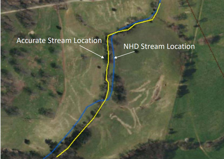
LIDAR provides better detail for identifying the location of stream channels than the National Hydrography Dataset (NHD)
Source: Virginia Department of Conservation and Recreation (DCR), Webinar on Draft Perennial Stream Guidance Document (November 5, 2020)
The state's new technique for classifying streams as perennial was not made retroactive. Streams which had already been assessed in a Perennial Flow Determination, for which documentation was still available, would retain that classification. That "safe harbor" provision protected primarily developers in suburban areas who had not completed building projects, but who had obtained a clear definition of the boundaries of Resource Protection Areas.
Quality control of the state's new technique also included testing a sample of the streams defined as perennial. Aerial photography was used to examine characteristics of stream segments classified initially as intermittent, but which might qualify as perennial. Characteristics of perennial streams include:6
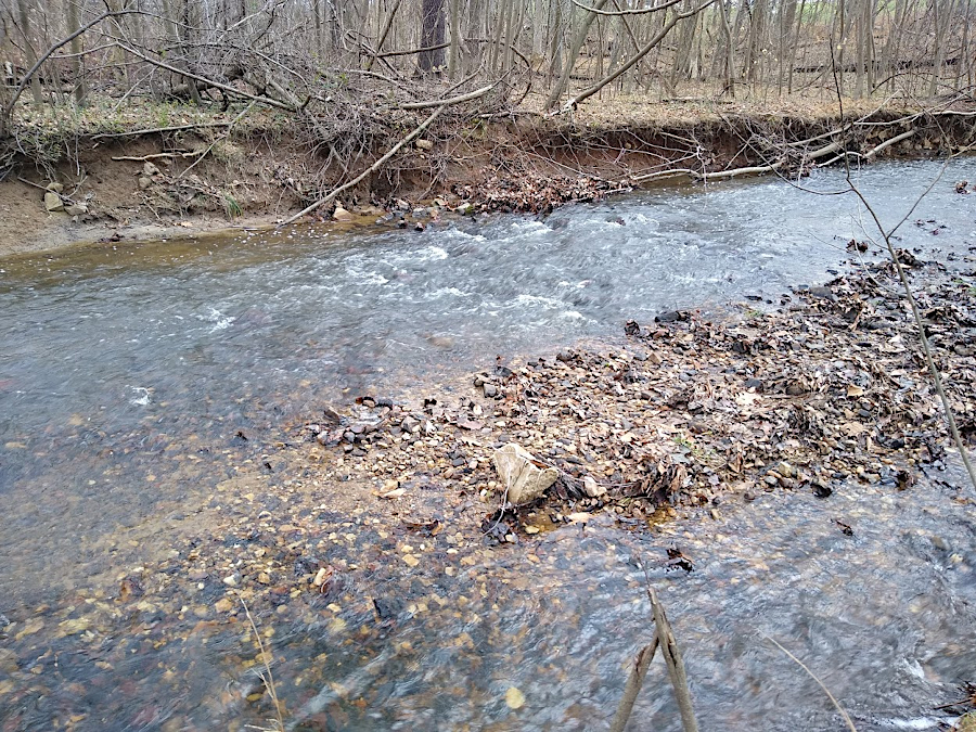
a clear bed and bank, and a pool-and-riffle pattern, are indicators of a perennial stream channel
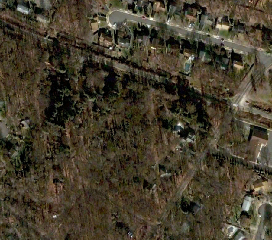
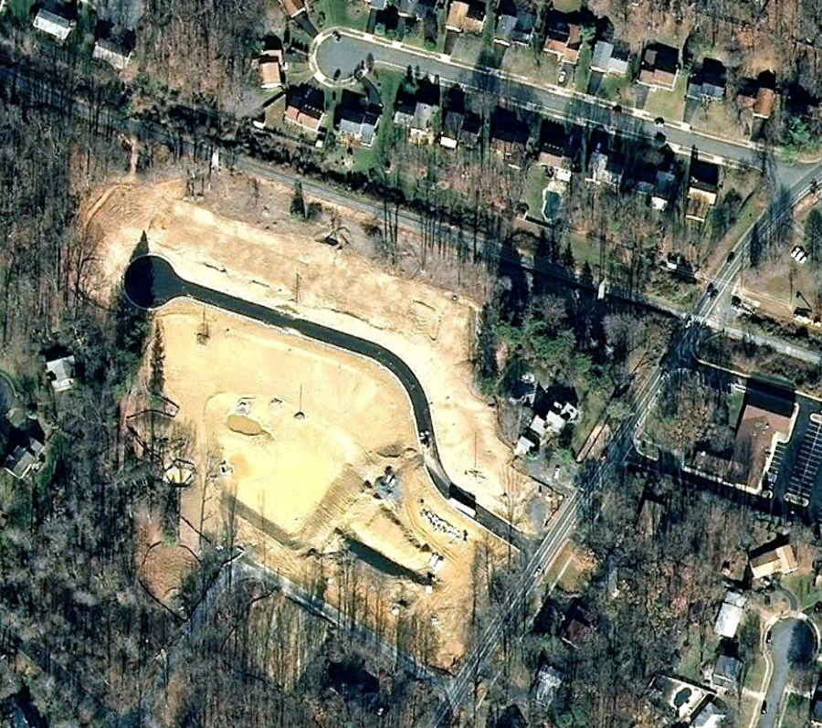
classification of a stream as intermittent enabled development of 24 rather than 13 houses on a 12-acre parcel in Fairfax County
Source: GoogleEarth
stream segments that are solid blue lines on the National Hydrography Dataset (NHD), and also on SSURGO or the 2002 VGIN Stream Network, are presumed to be perennial
Source: US Geological Survey (USGS), The National Map
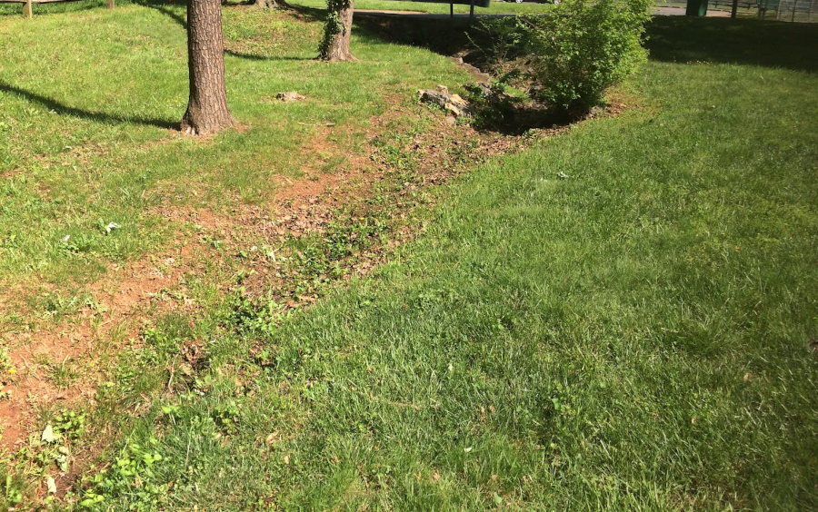
ditches at the edge of a ballfield which flow only during a rain are ephemeral features