- State Surface Area ñ 42,774 square miles
- Major River Basins (with Current Estimates of Flow):
- Potomac/Shenandoah (5,681 square miles) ñ 1,842 million gallons/day (MGD)
- Rappahannock (2,712 square miles) ñ 1,131 MGD
- York (2,674 square miles) ñ 1,099 MGD
- James (10,265 square miles) ñ 5,558 MGD
- Chesapeake Bay/Small Coastal (3,592 square miles) ñ 97 MGD
- Chowan River/Albemarle Sound (4,220 square miles) ñ 1,777 MGD
- Roanoke (6,393 square miles) ñ 2,277 MGD
- New (3,068 square miles) - 3,296 MGD
- Tennessee/Big Sandy (4,132 square miles) ñ 2,618 MGD
- Perennial River Miles (freshwater) - 52,232 miles
- Publicly Owned Lakes and Reservoirs
- Larger than 5,000 acres: 5 (109,838 acres)
- Smaller than 5,000 acres: 243 (52,392 acres)
- Total: 248 (162,230 acres)
- Wetlands
- Freshwater Wetlands - 808,000 acres
- Tidal and Coastal Wetlands - 236,900 acres
- Estuary - 2,308 Square Miles
- Atlantic Ocean Coastline - 120 Miles
- State-wide Average Annual Rainfall - 42.8 inches
- Freswater Discharge
- Average Freshwater Discharge of All Rivers - Approximately 25 billion gallons per day
- Average Freshwater Discharge into the Chesapeake Bay ñ Approximately 9.73 billion gallons per day
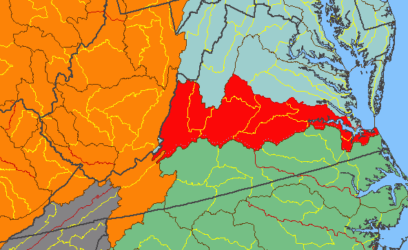
25% of Virginia is in the James River watershed (in red)
Source: US Geological Survey (USGS), National Atlas
