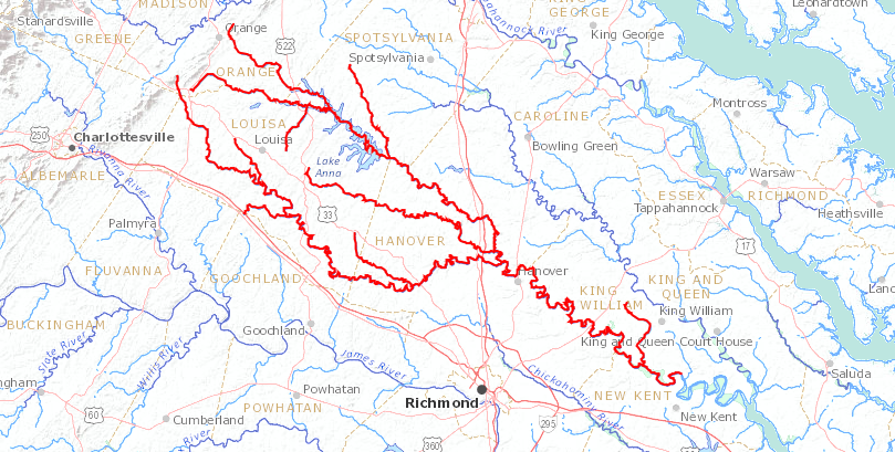
the York River begins at the confluence of the Pamunkey (shown in red) and Mattaponi rivers
Source: US Geological Survey (USGS), Streamer
the York River begins at the confluence of the Pamunkey (shown in red) and Mattaponi rivers
Source: US Geological Survey (USGS), Streamer
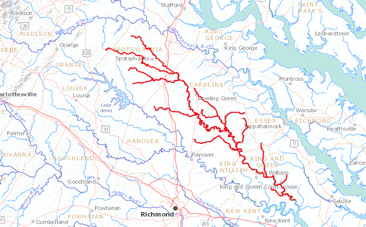
the Mattaponi River (shown in red) flows primarily in the Coastal Plain
Source: US Geological Survey (USGS), Streamer
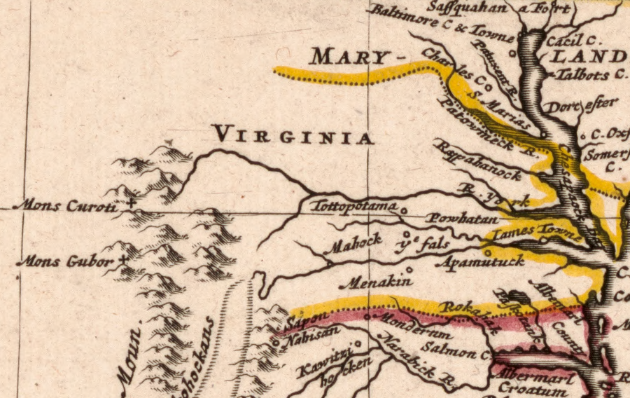
the tributaries of the York River start in the Blue Ridge
Source: Library of Congress, Nouvelle carte de la Caroline (Robert Morden, 1688)
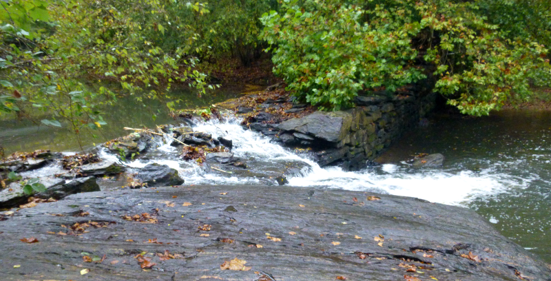
Byrd Mill Dam on South Anna River (Louisa County)
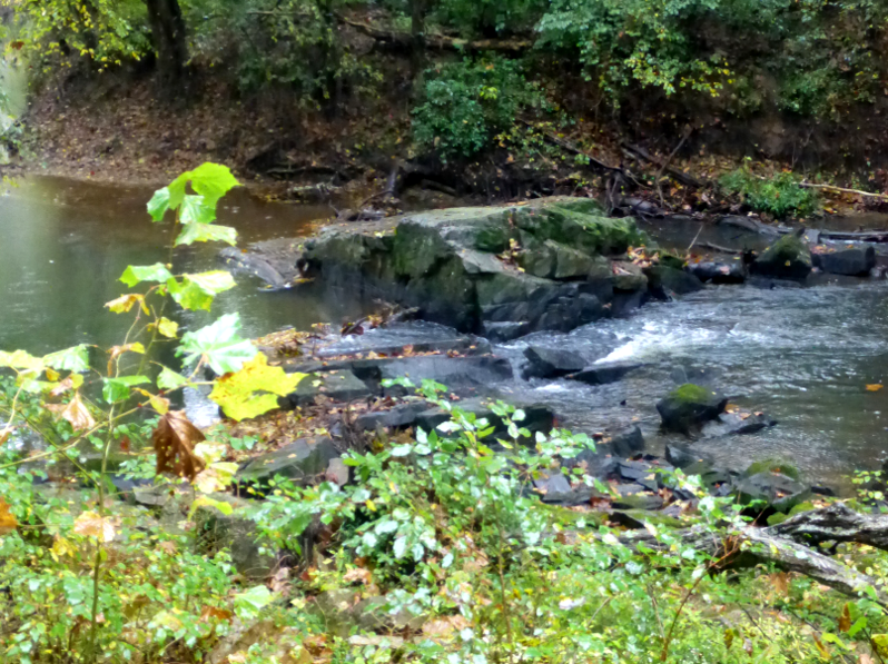
South Anna, downstream of Byrd Mill, carves its channel across the Potomac Terrane, Ellisville Pluton, and Choppawamsic Terrane (Louisa County)
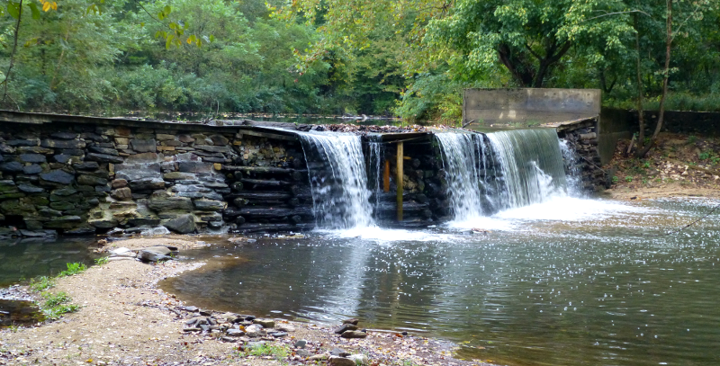
South Anna River at Yanceyville Mill, near epicenter of 2011 earthquake (Louisa County)
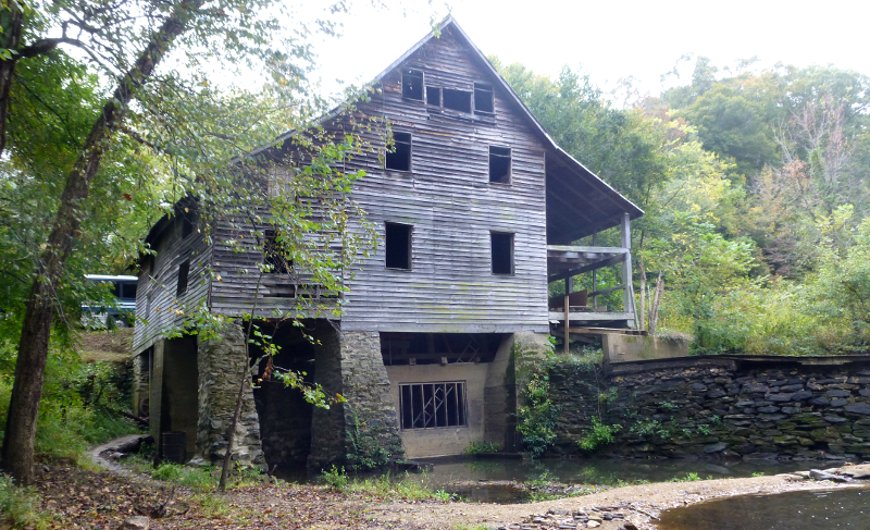
Yanceyville Mill was occupied by Union forces in the Civil War
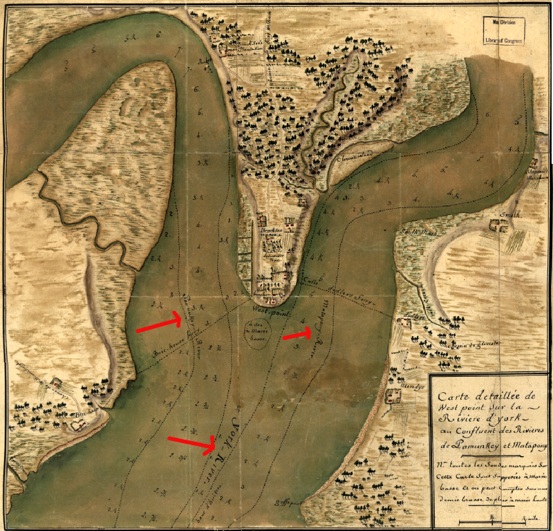 confluence of Pamunkey and Mattaponi rivers, forming the headwaters of the York River at West Point (as depicted in French army map from the 1781 Yorktown Campaign
Source: Library of Congress, Carte detaillee de West Point sur la riviere d'York au confluent des Rivieres de Pamunkey et Matapony

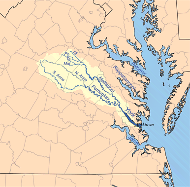
York River watershed (together with other small coastal basins)
Source: York River and Small Coastal Basins Roundtable
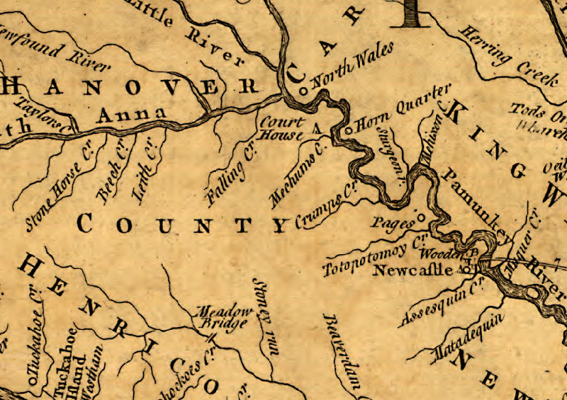 in colonial times, the Pamunkey River was navigable to Hanovertown ("Pages" Warehouse), but siltation of river channel triggered establishment of Newcastle in 17581
Source: Library of Congress, A map of the most inhabited part of Virginia produced by Joshua Fry and Peter Jefferson in 1751
 the two tributaries that form the York River at their confluence are the Pamunkey and Mattaponi rivers
Source: Wikipedia, List of rivers of Virginia
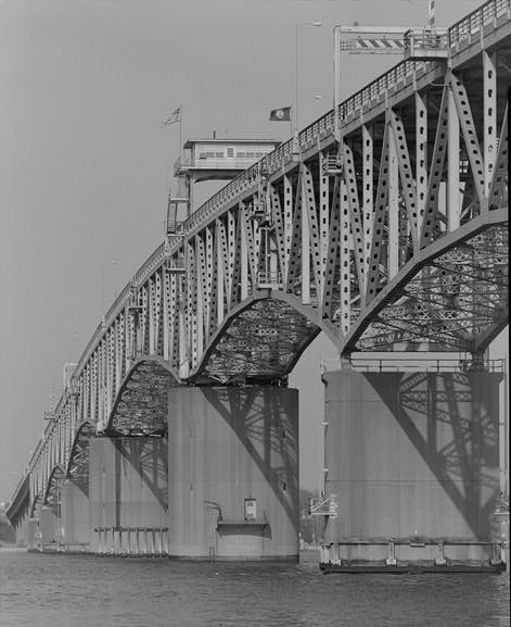
the George P. Coleman Memorial Bridge opened at the mouth of the York River in 1952
Source: Library of Congress, George P. Coleman Memorial Bridge, Spanning York River at U.S. Route 17, Yorktown, York County, VA
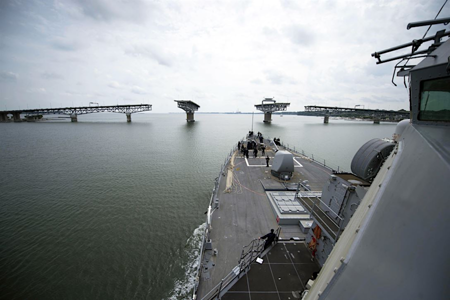
the George P. Coleman Memorial Bridge, the only bridge to cross the York River, swings open to allow ships to pass between Yorktown and Gloucester Point
Source: Department of Defense, Bridge Pass
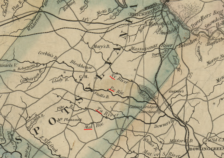
tributaries at the headwaters of the Mattaponi River are named, individually, the Mat, Ta, Po, and Ny rivers
Source: Library of Congress, A map of the state of Virginia, constructed in conformity to law from the late surveys authorized by the legislature and other original and authentic documents (1859)