Big Sandy River
in southwestern Virginia, the Tug Fork, Levisa Fork, and Russell Fork of the Big Sandy River drain the Appalachian Plateau and flow towards the Ohio River
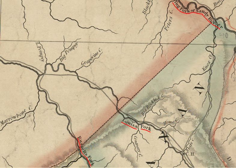
Source: Library of Congress, A map of the state of Virginia, constructed in conformity to law from the late surveys authorized by the legislature and other original and authentic documents (1859)
The Native American name for the Big Sandy River supposedly meant "river of sandbars." Half of the watershed is in Kentucky. West Virginia and Virginia each have about 25%.1
Three tributaries of the Big Sandy flow through Virginia and ultimately combine to form the main stem of the Big Sandy River. The Russell Fork has cut through sandstone layers of Pine Mountain to form The Breaks, now an interstate park on the Kentucky-Virginia border just upstream of Elkhorn City. A dam blocking one tributary upstream of The Breaks, the Pound River, forms the John W. Flanagan Reservoir.
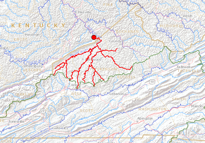
the Russell Fork watershed in Virginia drains portions of Dickenson and Buchanan countiesr
Source: US Geological Survey, Streamer
The Levisa Fork was named for Louisa, a daughter of George II who married the Crown Prince of Denmark and became that country's queen in 1746. She was the sister of Prince William, the Duke of Cumberland for whom Cumberland was named. The town of Grundy is located on the Levisa Fork.2
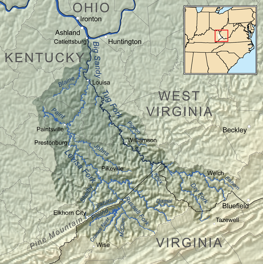
the Levisa Fork flows past Grundy and continues to Louisa, Kentucky where is merges with the Tug Fork to form the Big Sandy
Source: Wikipedia, Levisa Fork
The Tug Fork gained fame from the Hatfield-McCoy feud. Tug Fork separated the Hatfields in Logan County, West Virginia and the McCoys in Pike County, Kentucky.3
The Levisa Fork was navigable by steamboats to Pikeville, while the Tug Fork was navigable only to Williamson. Before railroads arrived, it was not economical to mine and transport coal from the watershed. Timber was harvested in Virginia and floated downstream. Streams were dammed, trees were hauled to the lakes, and then the "splash dams" were dynamited to create a flood that floated the timber downstream.4
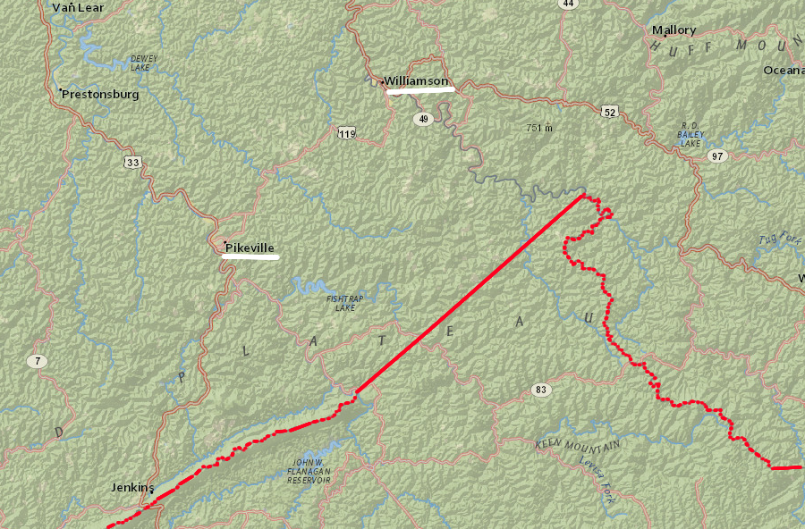
the Levisa Fork was navigable to Pikeville, and the Tug Fork to Williamson
Source: ESRI, ArcGIS Online
Links
References
1. A. Christopher, "Big Sandy River Watershed," HydroShare, US Army Corps of Engineers Corps Corps Water Management System (USACE CWMS), http://www.hydroshare.org/resource/95ca7017864b464fb6114035e4f974ce; "Big Sandy River," West Virginia Explorer, https://wvexplorer.com/attractions/rivers-streams/big-sandy-river/ (last checked June 12, 2019)
2. "Journal of Doctor Thomas Walker - 1749-1750," West Virginia Archives and History, http://www.wvculture.org/history/settlement/loyalcompany02.html; "Louise," Rosenborg Castle, http://www.kongernessamling.dk/en/rosenborg/person/louise/ (last checked June 12, 2019)
3. "The Hatfield-McCoy Feud," West Virginia Encyclopedia,, https://www.wvencyclopedia.org/articles/314 (last checked June 12, 2019)
4. "Big Sandy River," West Virginia Encyclopedia, https://www.wvencyclopedia.org/articles/484 (last checked June 12, 2019
Rivers of Virginia
Rivers and Watersheds of Virginia
Virginia Places