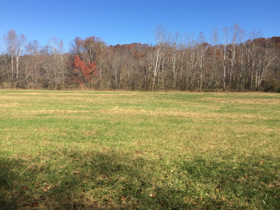
floodplain of the Piney River in Nelson County, near the confluence with the Tye River
floodplain of the Piney River in Nelson County, near the confluence with the Tye River
The shape of a river channel reflects the pattern of the waterflows than run down through that channel, as well as the rock through which the water has carved its path. A river will carve a channel with clearly-defined banks on each side, in most cases. During occasional floods, the water level will rise to fill the channel. Newspapers may describe the river as running "full to the banks," but the river does not reach flood stage until it rises higher than the river banks and water spills over onto the adjacent land.
When the river level starts to drop, perhaps after the surge of water from an intense thunderstorm has passed, the river is described as having "crested." In many areas of the United States, the spring thaw brings on an annual flood as the winter snows melt. When the water flows over the riverbanks, it encounters obstructions - grass, trees, fences, even barns and houses.
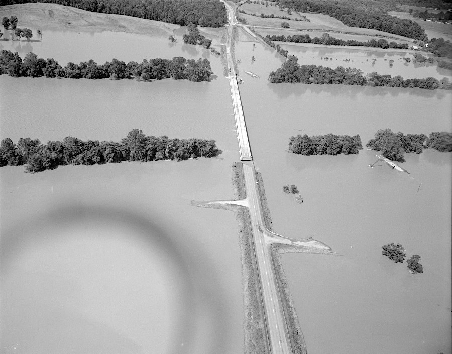
Hurricane Agnes showed how rivers expand to cover floodplains (and Route 522), in a natural process
Source: Library of Virginia, Bridge over the James at Maidens
The obstructions slow the flow of the water, and some of the silt carried in the floodwaters settles out along the edge of the river. The deposited silt fills in the low places near the river edge. In the resulting flat floodplains, the soil is rich in organic material. Floodplains are desirable farmland - the soil is fertile, enriched by nutrients eroded from upstream, while seeds/plants on the flat land are less likely to be washed away by normal rainstorms.
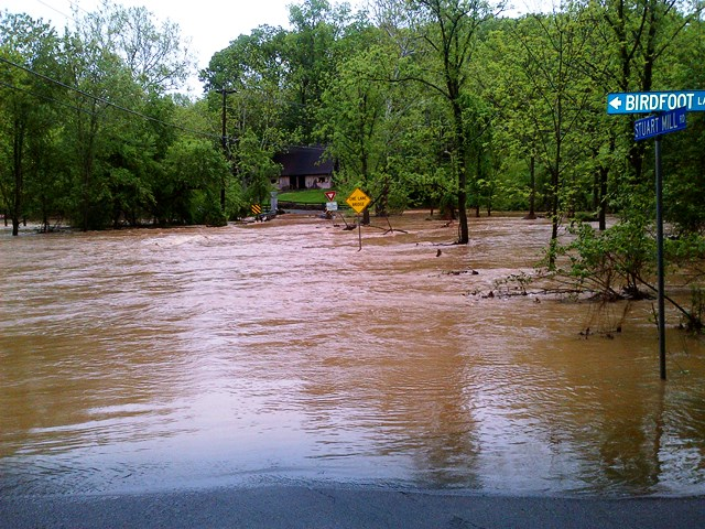
floods carry eroded dirt and deposit onto floodplains
Source: Fairfax County, Flooding Near Hunter Mill Road (May 16, 2014)
Along the Mississippi River, the deposition of silt along the riverbanks has raised them higher after the floods. These natural levees have been enhanced by man-made walls of earth constructed on either side of the Mississippi, so the annual spring runoff can be directed downstream to the Gulf of Mexico and the farmers can get their equipment into their fields without waiting for the floodwaters to drain away naturally.
In 1993, one of the intermittent changes in the pattern of rainfall created a major flood along the Mississippi River, especially downstream of Saint Louis. The Federal government, tired of repetitive payments for "natural" disasters, responded by acquiring farmland that was regularly flooded, and even moving entire towns out of the floodplain.
Since building houses, commercial buildings, and industrial facilites in floodplains exposes them to damage from high water, an obvious alternative is to establish parks along waterfronts. However, even park facilities can be damaged. Stafford County considered closing the Historic Port of Falmouth Park in 2019, after floods a year earlier filled it with water and debris.
One county supervisor said:1
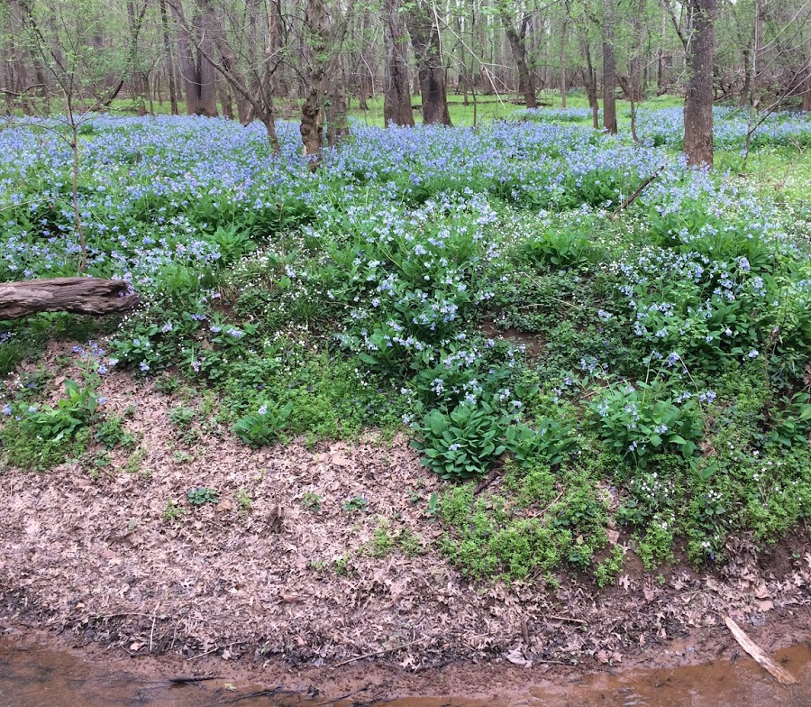
spring ephemeral plants such as bluebells bloom on floodplains before leaves of box elder maples create too much shade
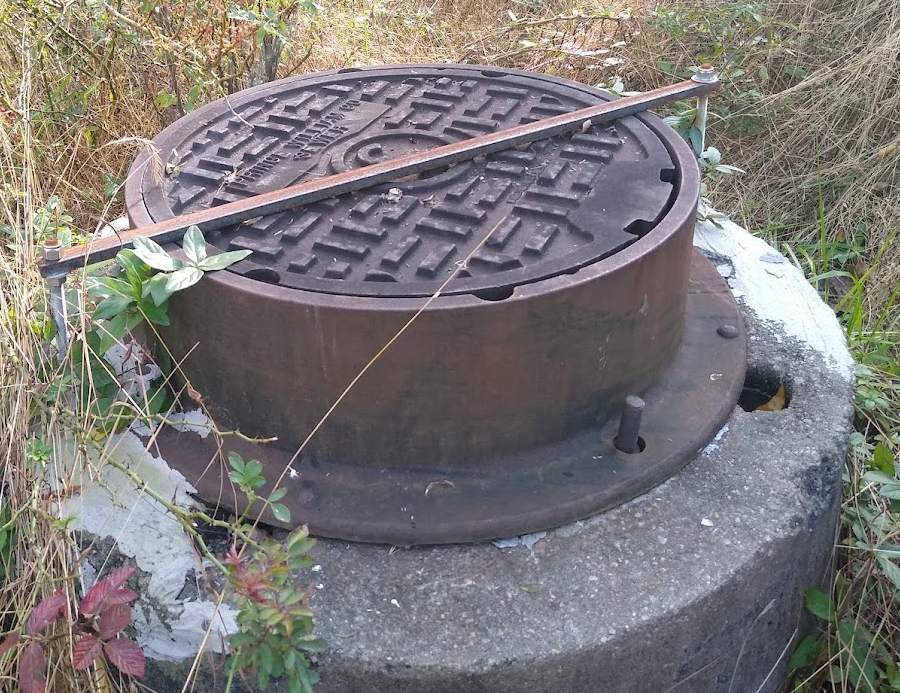
sewer pipelines in floodplain seal access points to avoid infiltration of floodwaters
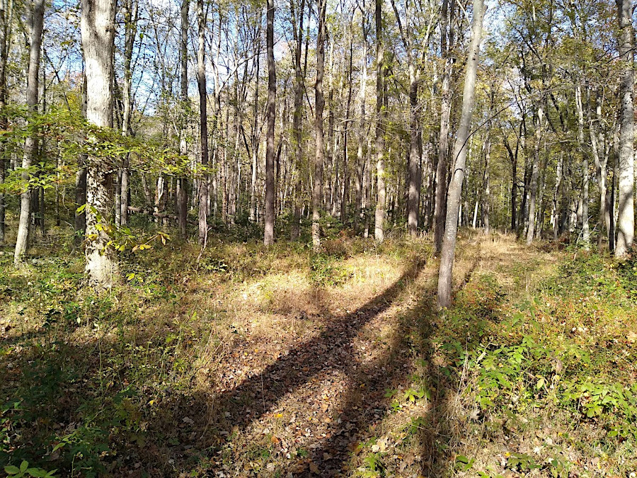
floodplain along Powell's Creek (Prince William County)